

On January 16 (9:10 pm local time), an earthquake was felt in Bali. The estimated reported magnitude of 4.0 was felt South of Bali’s Bukit peninsula.
The proximate distance from Bali’s capital city Denpasar was 23km.
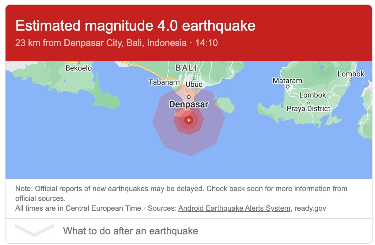
Source: Android Earthquake Alerts System
Indonesia is located on a meeting point of three major continental plates and also on a Pacific Ring of Fire. Because of this location, Indonesia often experience the earthquakes.
Check here for more information about the latest Bali earthquakes.